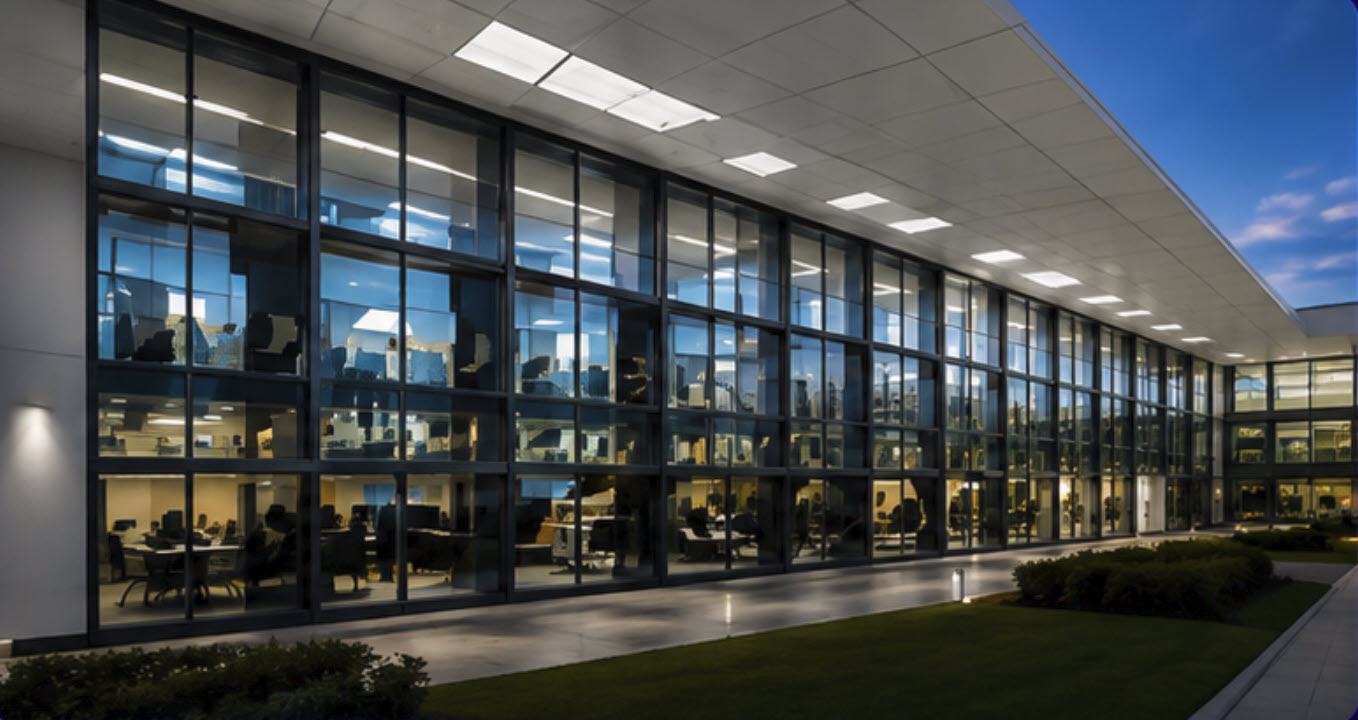
Commercial real estate
Give owners, tenants, and leasing teams a clearer view of offices, retail environments, and other commercial spaces before scheduling a visit.
Commercial Matterport · Northern California
Commercial Matterport & 3D scanning in Northern California.
Give property, construction, and facilities teams a clearer view of the spaces they market, manage, and improve.
Built for property decisions
20 SPLA libraries scanned
Single-site & portfolio projects
Northern California
Commercial applications
Give owners, tenants, and leasing teams a clearer view of offices, retail environments, and other commercial spaces before scheduling a visit.
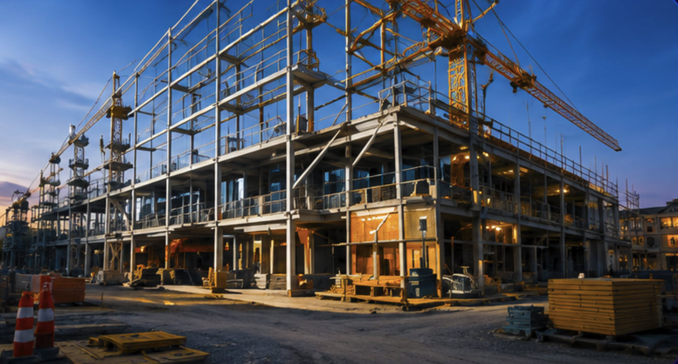
Create a visual record of existing conditions to support discussions between owners, architects, contractors, and project managers. Define any technical export requirements before capture.
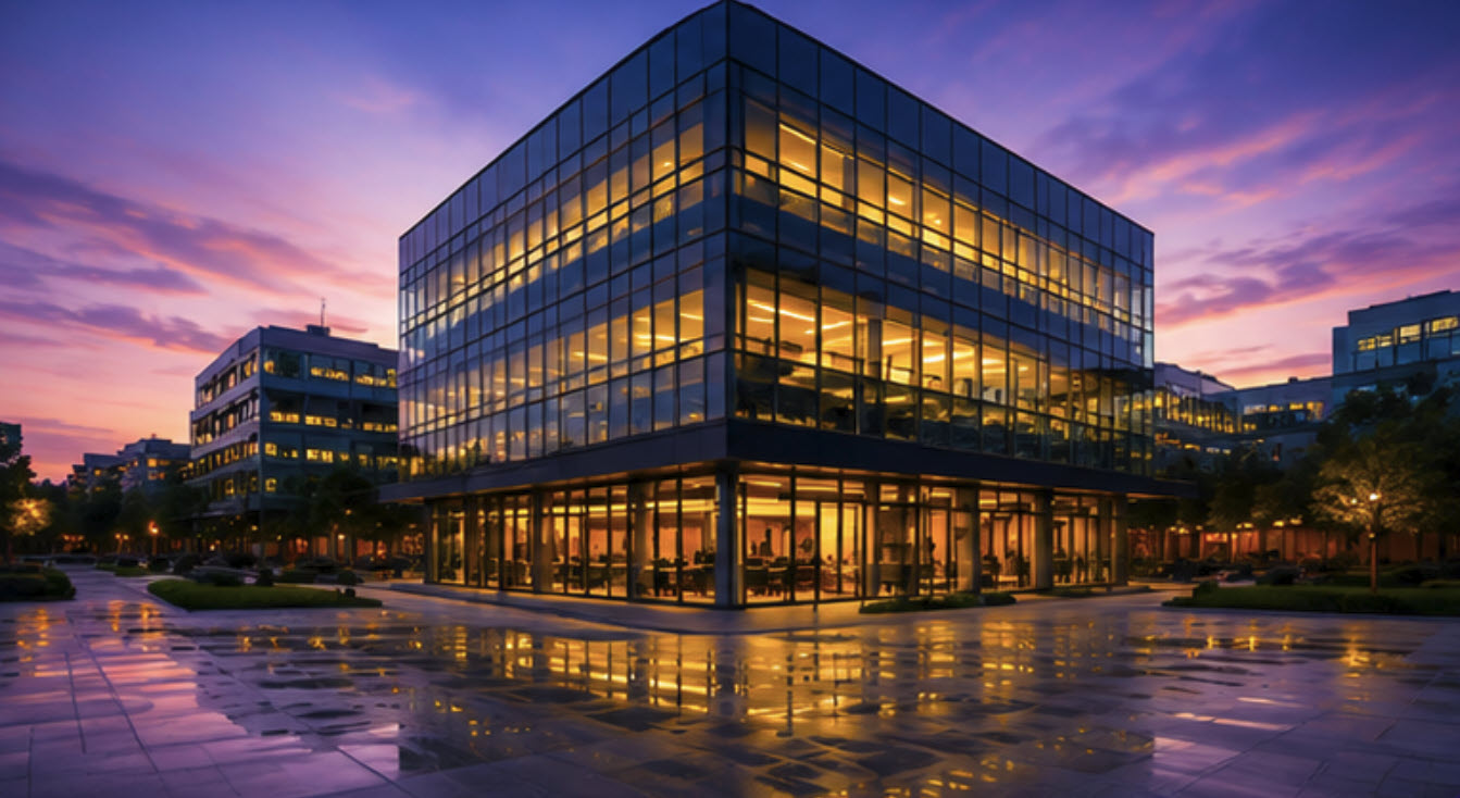
Give distributed teams a common visual reference for remote building review, maintenance discussions, and renovation planning across a property portfolio.
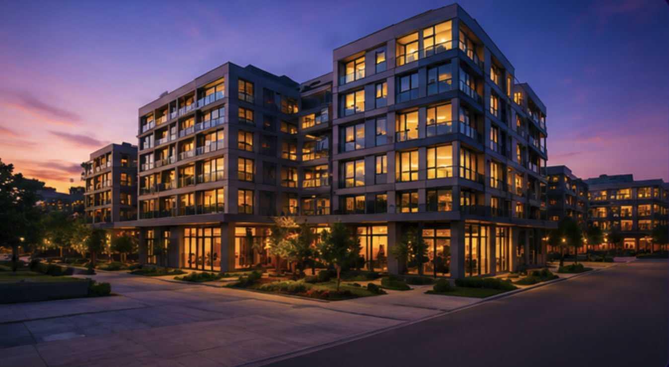
Let prospects explore a property beyond a photo gallery. Public-facing models can complement your website, leasing presentations, and other approved marketing materials.
A visual reference for real decisions
Photos show individual views. A Matterport digital twin connects those views into a navigable representation of a property, giving remote stakeholders a way to explore the layout and understand how spaces relate to one another.
Our commercial Matterport and 3D scanning service supports teams across Northern California. We start with the reason for the scan: marketing a vacancy, documenting existing conditions, planning work, or helping facilities staff review a building remotely. That purpose shapes what we capture and how we prepare the handoff.
A public virtual tour and an internal facilities model serve different audiences. We scope access, areas of coverage, and deliverables with you before capture, so the finished model fits its intended use.
Scope the right outputs
We use the Matterport Pro3 LiDAR camera to capture spaces for Matterport digital twins. The interactive model is the starting point; optional exports and documentation should be specified in your proposal rather than assumed to be included.
Explore the captured space through a browser-based walkthrough. Agree on the coverage, viewpoints, and intended audience before the site visit.
Discuss floor plans, point-cloud exports, or downstream CAD/BIM requirements at scoping. Availability, suitability, and additional charges depend on the requested output and platform plan.
Confirm who owns the account, who receives access, how the model is shared, and how hosting and renewal will be handled.
For technical context, see Matterport’s Pro3 specifications and Matterport’s platform plans. We’ll confirm the actual deliverables in your quote.
20
SPLA libraries
scanned
Library portfolio experience
Facilities-management scanning completed across 20 Sacramento Public Library Authority libraries.
The facilities models are password-protected for management and facilities use.
Explore the case study →Our process
01
Tell us about your properties, intended viewers, and the decisions the model should support.
02
Agree on capture areas, exclusions, site contacts, and a practical schedule.
03
Review the agreed coverage, sharing permissions, outputs, and hosting arrangements.
Northern California
Based in the Sacramento region, we welcome commercial and public-sector scanning inquiries across Northern California, including Contra Costa County and San Francisco. Tell us whether you need one property or a coordinated rollout across several locations.
For a county or agency portfolio, a consistent brief matters as much as the camera. Shared naming conventions, a location schedule, approved access requirements, and a defined handoff make a multi-site project easier to manage. Travel, scheduling, and site-specific requirements are confirmed in the proposal.
Your questions
Understand the scope, outputs, access, and hosting before you commission a commercial scan.
Discuss your projectTell us about your properties and the decisions your team needs to make.