
Review buildings remotely
Understand captured layouts and circulation areas before arranging an in-person review.
Case study · Government & libraries
Sacramento Public Library Authority facilities scanning.
A 20-library project for management and facilities use. Explore the confirmed scope and why the resulting models remain private.
Built for facilities decisions
20
SPLA libraries
scanned
Library portfolio experience
Facilities-management scanning completed across 20 Sacramento Public Library Authority libraries.
The facilities models are password-protected for management and facilities use.
Discuss a library scanning program →Potential applications for your team
The confirmed SPLA project establishes the scale and facilities-management purpose. These are potential applications to discuss for your own organization.
Understand captured layouts and circulation areas before arranging an in-person review.
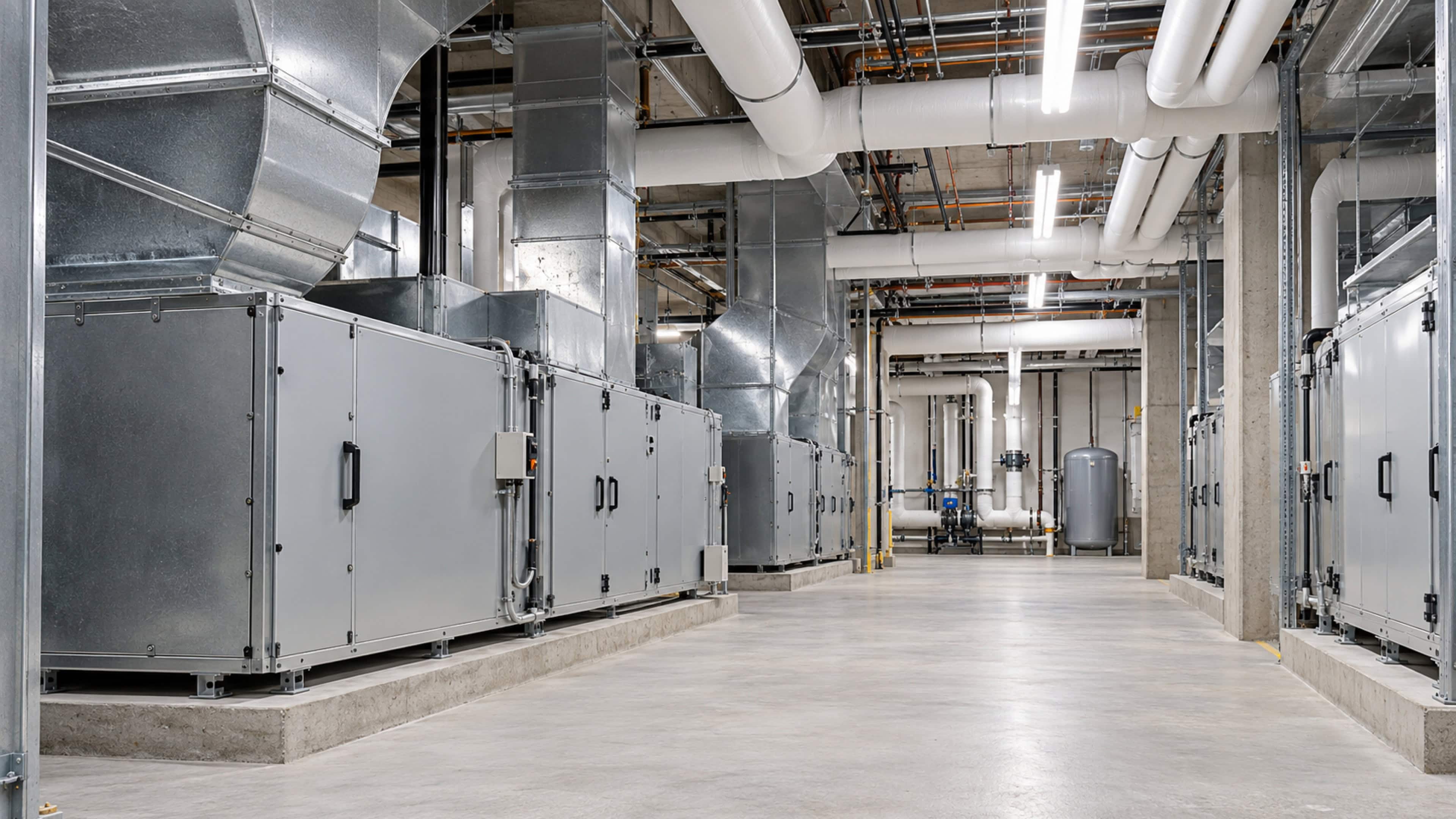
Discuss a work location with the surrounding building context in view.

Give project stakeholders a common visual reference for existing spaces.
Illustrative images; not actual SPLA project photographs.
The confirmed project
Immersive 3D Virtual Tours completed facilities-management scanning across 20 Sacramento Public Library Authority libraries. The resulting scans are password-protected for management and facilities use.
The scope establishes the scale and purpose of this project: a multi-location library portfolio documented for an internal audience. It also shows why facilities scanning should be planned differently from a public-facing virtual tour.
A public tour invites visitors to explore an approved space. An operational model may serve staff who need to understand a building as part of their work. The audience determines what should be captured, which areas should be excluded, and how access is managed.
For SPLA, the facilities scans remain restricted. This case study does not include those models, access links, passwords, screenshots, or operational details.
The project combines a 20-library capture scope with a clear facilities-management purpose and password-protected access for the people who manage the buildings.
For other library systems and public agencies, this is a useful starting point for discussing a coordinated scanning program: define the location list, establish the intended users, and specify the capture and handoff requirements before the site visits.
If your team manages several buildings, start with the decisions that need better spatial context: reviewing a branch remotely, explaining a proposed work location, or helping project stakeholders understand an existing layout. We can discuss how a capture scope, controlled access, and a practical handoff could support those needs.
We welcome inquiries from library and government teams across Northern California, including Contra Costa County and San Francisco. Read about our government and public library scanning service, or explore commercial Matterport and 3D scanning for the wider range of applications.
A navigable model helps your team understand how captured spaces relate to one another. Explore this approved public example of an interactive walkthrough.
See how rooms and circulation areas connect.
Give authorized stakeholders a common view of captured conditions.
Discuss maintenance locations and proposed changes with spatial context.
Your questions
The confirmed scope, intended audience, and public examples for this library portfolio.
Discuss your projectTell us about your properties and the decisions your team needs to make.